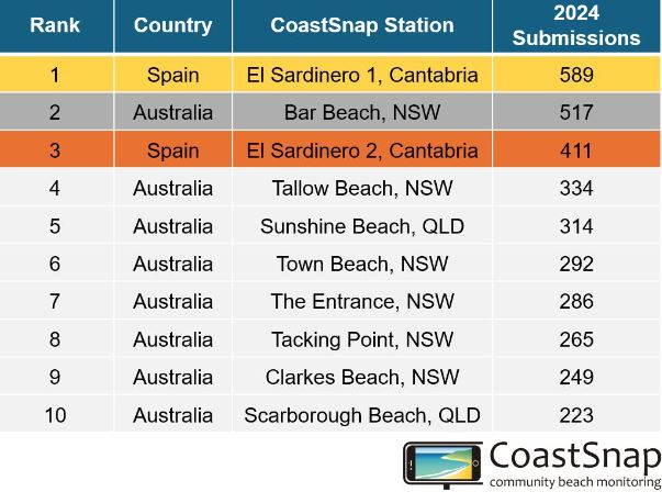
Local CoastSnap stations, Town Beach and Tacking Point are now in the top 10 worldwide for community participation!

We’re excited to share that our CoastSnap stations at Town Beach and Tacking Point are now in the top 10 worldwide for community participation! This means each of these sites is getting at least a photo every day, ensuring that daily beach changes are captured.
This achievement highlights the dedication of our community in protecting and monitoring our stunning coastline.
What is CoastSnap?
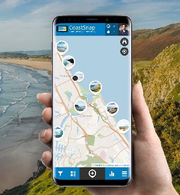
CoastSnap is a unique citizen science initiative that lets you, our community, help monitor coastal changes using your smartphone. We have 7 CoastSnap cradles installed across our coastline. These cradles ensure your photos are taken from the same angle every time, providing consistent data on how our beaches change day by day.
Why is this important?
Our CoastSnap stations are now receiving daily photo submissions, which means we’re capturing the dynamic changes of our coastline in real-time. This daily data is crucial for our Coastal Management Program (CMP), helping us track beach width, dune movements, and the effects of storms more accurately than ever before.
By analyzing these photos, our team can make better decisions about coastal protection, erosion control, and habitat restoration. The real-time information helps us respond quickly to coastal challenges, ensuring the health and sustainability of our beaches.

How to get involved
Getting involved with CoastSnap is simple:
- Install the app: Visit the CoastSnap website to download the app and register your account
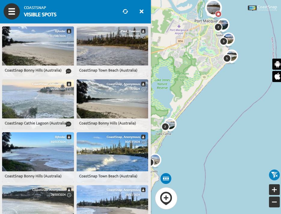
- Visit a CoastSnap Station: Visit our map to choose your station location.
- Snap a Photo: Open the app, place your smartphone in the CoastSnap cradle and follow the instructions to take and upload a photo of the beach.
Get the family or classroom involved!
The CoastSnap app is a fantastic tool for children interested in coastal care. We’ve integrated it into our Little Legends Passport Adventure series! Check out Episode 3 on ConnectEd Kids and download our free Little Legends Passport activity book to enhance your CoastSnap app citizen science adventure.
Your participation makes a big difference. Each photo you take adds to a global network of coastal monitoring, contributing valuable data to help us and others worldwide understand and protect our coastlines. Your simple actions help us safeguard our beautiful coast for future generations. For more information, visit our Coastal Monitoring page and learn more about the CoastSnap initiative at coastsnap.com.


