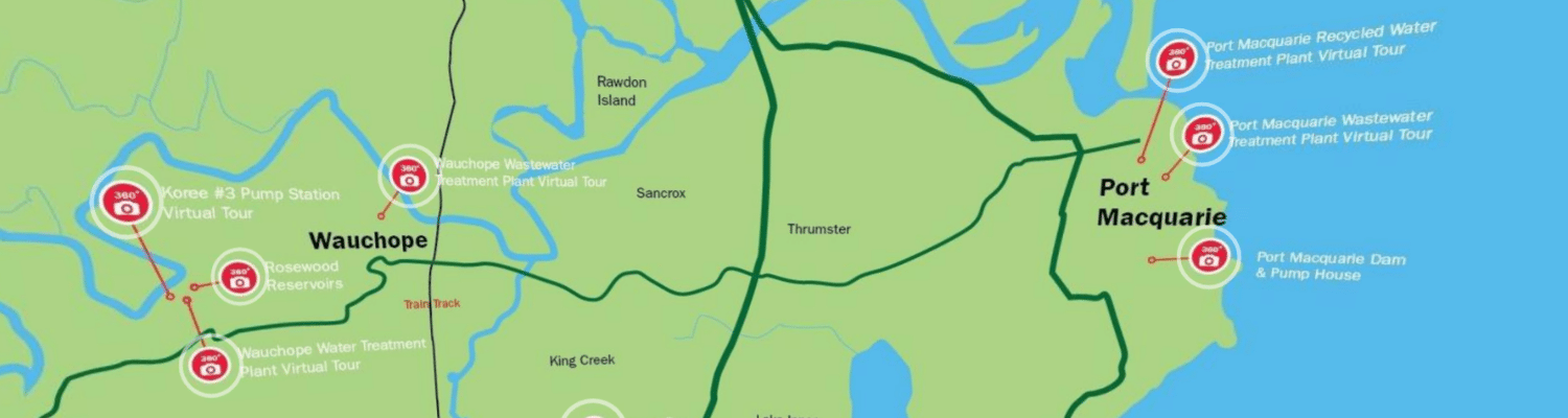
This map has been developed to give the community insight into the complex and often overlooked water and wastewater infrastructure that Council manages. It contains 360 degree tours inside some of our facilities, videos from plant operators, information about infrastructure, images, historical videos and more.
Note: in the interest of providing this map to the public as soon as possible some parts are still under construction, but check back regularly as more 360 images and videos will be added soon.
Not sure how to navigate your way around? Click here for tips.
Keen for a full screen experience? Click here to open it up in a new tab/window (browser dependent)
PMHC Interactive Map – IWCMSnap Content
Tips for navigating this map:
- Clicking and holding anywhere on the map will allow you to drag the map around.
- Dotted around the map are “Hot Spots” which identify parts of our water and wastewater network. Clicking on these will take you into that area.
- Embedded within the 360 degree images in each area are more “Hot Spots”. Clicking on these will take you to different parts of your chosen facility where you will find more information.
- When you have finished in an area or get lost, look for the “globe icon” in the top left corner of the map. This will take you back to the main page where you can select a new location.